
A clear map of Kota Kinabalu with its areas, main places, distances and day trip directions.
That shape explains how the city works. Most places visitors want are within a few kilometres of the centre, the islands of Tunku Abdul Rahman Marine Park sit just offshore, and Mount Kinabalu is about two hours inland by road.
This guide goes through the map area by area, then covers distances, getting around and day trips. For the wider state, see our Sabah map guide, and for trip planning basics read the Kota Kinabalu travel guide. Distances and times are approximate and change with traffic, so check live directions before you set off.
Use the map to zoom into the city centre, the airport or the coast. Drag to move around and use the plus and minus buttons to change the scale.
A quick way to read it: the coast runs from the northeast to the southwest. Heading south from the centre takes you towards Sutera Harbour, Tanjung Aru and the airport. Heading north takes you towards Likas, the City Mosque and Inanam.
The city is easier to plan when you split it into zones. Here is what each part of the map is like.
The centre is the walkable core. Gaya Street, the central market, the Filipino Market and the waterfront promenade sit close together, and Jesselton Point, where island boats leave, is nearby. Atkinson Clock Tower and the Signal Hill lookout rise just behind the main streets. See our guides to the waterfront and Filipino Market and the Gaya Street Sunday Market.
North of the centre along the coast, Likas is home to the Kota Kinabalu City Mosque, the Kota Kinabalu Wetland Centre and Likas Bay. Malls and everyday local shopping spread out around Alamesra and further north. It is quieter than the centre and easy to reach by car or Grab.
Inanam, Menggatal and Kolombong are residential and commercial suburbs with larger malls and budget housing. Most visitors pass through on the way to Tuaran, Kota Belud or Kinabalu Park. On the same side of the city, Mari Mari Cultural Village is about 25 to 45 minutes from the centre by road.
South of the centre, Sembulan holds the Sabah State Mosque and the Sutera Harbour marina and resort area, a self contained waterfront district with a marina and golf.
Tanjung Aru is the beach end of the city and a favourite spot for sunset, with Tanjung Aru Beach and Perdana Park along the shore. Kepayan sits next to the airport, so it works well for short stopovers. Shoppers can also read our Imago Shopping Mall guide.
Southeast of the centre, Penampang is the heart of the Kadazan Dusun community and the base for Monsopiad Cultural Village. The main road south towards Papar also starts on this side of the city.
Use this table to match a place on the map to a zone and to find our full guide for it.
| Zone | Places | Read more |
|---|---|---|
| City Centre and Waterfront | Waterfront, Filipino Market, Gaya Street, Atkinson Clock Tower, Signal Hill | Signal Hill | Atkinson Clock Tower |
| Likas | City Mosque, Wetland Centre, Likas Bay | City Mosque | Wetlands |
| South Coast | Sutera Harbour, Tanjung Aru Beach, Imago | Best places to visit |
| Offshore | Manukan, Sapi, Mamutik and Gaya islands | Marine Park guide |
| Inland and Outskirts | Mari Mari, Lok Kawi Wildlife Park, Kokol Hill, Monsopiad | Lok Kawi | Kokol Hill |
These are rough figures from the city centre. Traffic is heaviest on weekday mornings and late afternoons.
| Route | Approx. distance | Typical time |
|---|---|---|
| Airport (BKI) to city centre | About 7 to 8 km | 15 to 25 minutes by road |
| City centre to Tanjung Aru Beach | About 5 to 6 km | 15 to 20 minutes by road |
| City centre to City Mosque (Likas) | About 6 km | 15 to 20 minutes by road |
| City centre to Signal Hill | Short distance | About 15 minutes on foot |
| Jesselton Point to island jetties | Short boat ride | 10 to 20 minutes by speedboat |
| City centre to Mari Mari Cultural Village | Short drive | 25 to 45 minutes by road |
| City centre to Lok Kawi Wildlife Park | South of the city | 30 to 40 minutes by road |
| City centre to Kinabalu Park | About 88 km | About 2 hours by road |
| City centre to Klias Wetlands | South of the city | About 2 hours by road |
Times are estimates. Check live directions on the day you travel.
The centre is compact and easy to cover on foot. Beyond it, distances are short but public transport is limited. Grab and taxis are the usual choice for short trips, and most visitors rent a car or book a private transfer for day trips.
If you land at the airport first, our airport guide covers terminals and transport. To drive yourself, see our car rental page.
Some of the best places near Kota Kinabalu sit outside the city limits. Here is how they relate to the map.
For a full list, read our best day trips from Kota Kinabalu and things to do in Kota Kinabalu.
These are the tours we run from Kota Kinabalu, with pickup from the city. See the full list on our tours page.

Wildlife, sunset, fireflies, and river cruise, discover Sabah’s nature in one unforgettable journey.
Duration: 8 hours
Adult: 180 MYR | Child: 170 MYR
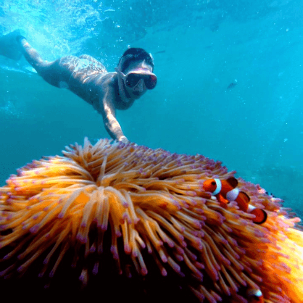
Island hop, snorkel in crystal-clear waters, see corals, fishes & relax on the beach at Sapi & Manukan.
Duration: 7 hours
Adult: 225 MYR | Child: 215 MYR

Sail & snorkel by catamaran, kayak & paddle board included, packed meal prepared onboard.
Duration: 4 hours 30 minutes
Adult: 250 MYR | Child: 240 MYR
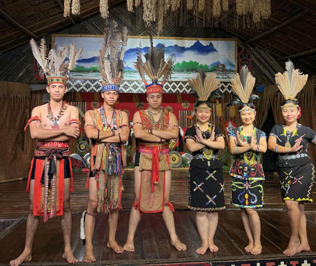
Explore Sabah’s Legendary Kadazan warrior heritage, rituals, legends, and village life.
Duration: 4 hours
MYR 198 Per Person

Step into Sabah’s cultural tour, tribal homes, dances, food and stories in one village.
Duration: 5 hours
Adult: 225 MYR | Child: 215 MYR

TeeTee off at Dalit Bay, Sutera Harbour & Nexus Resort, customisable Sabah golf adventure awaits.
Customisable

Discover Kota Kinabalu’s highlights, culture, landmarks, and local food on half-day city tour.
Duration: 4 hours
Adult: 200 MYR | Child: 190 MYR
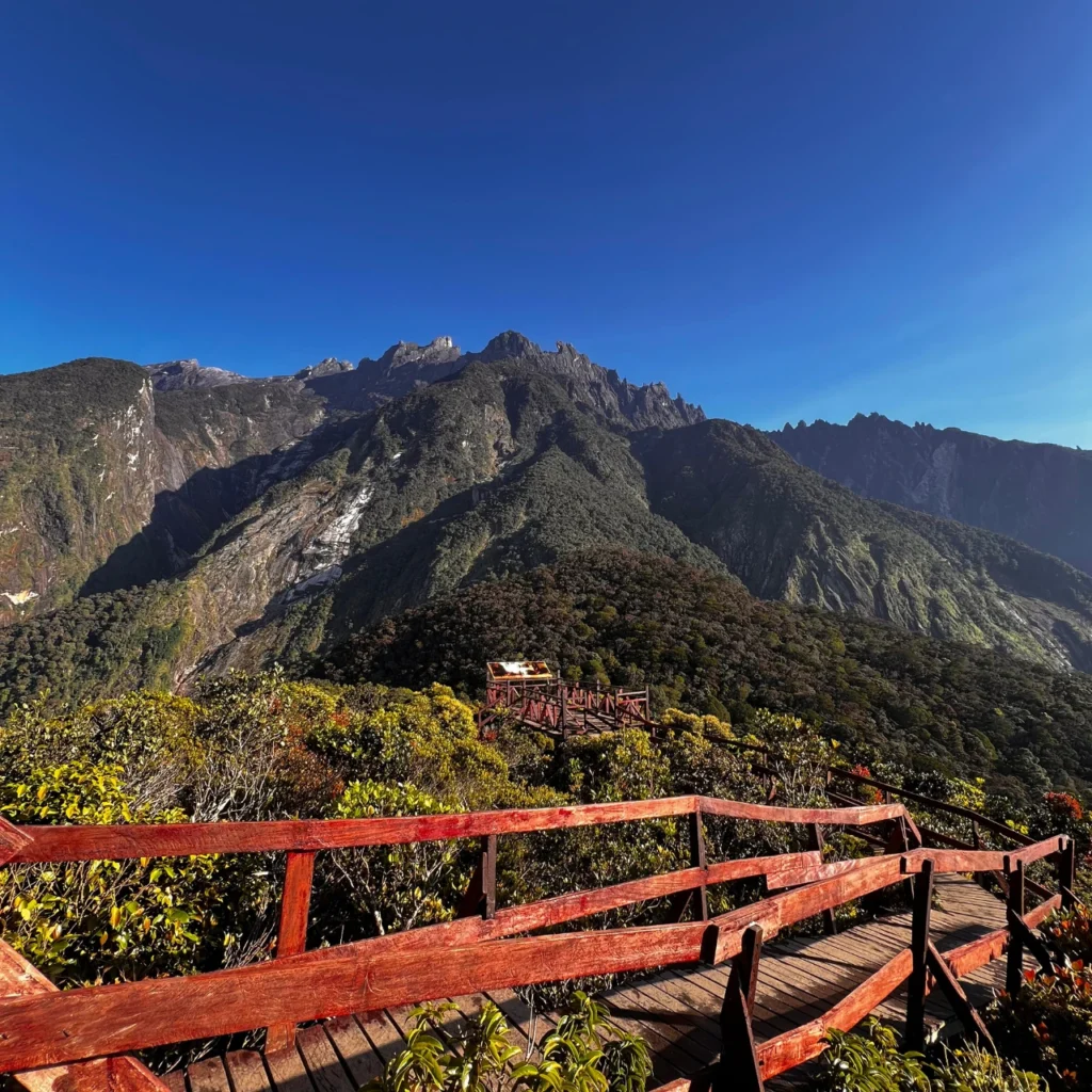
Climb Malaysia’s highest mountain, earn your Mount Kinabalu summit certificate.
Duration: 3 Days
Refer to Price Table

Proboscis Monkey River Cruise & Cultural Village. The combined wildlife & cultural experience.
Duration: 12 hours
MYR 400 Per Person
Kota Kinabalu is on the northwest coast of Borneo in Sabah, Malaysia, facing the South China Sea. Its coordinates are about 5.98 N, 116.07 E.
KK is the common short name for Kota Kinabalu. Kota means city in Malay and Kinabalu comes from Mount Kinabalu. The city was called Jesselton in the colonial period.
The airport is about 7 to 8 km south of the centre, roughly 15 to 25 minutes by road depending on traffic.
The city centre is, including the waterfront, Gaya Street and the markets. Other areas such as Likas, Tanjung Aru and Inanam are best reached by Grab, taxi or car.
The city centre suits first visits because the jetty, markets and food are close. Tanjung Aru suits beach stays and early flights, and Likas is quieter.
Kinabalu Park headquarters is about 88 km from the city, around two hours by road.
Most island trips to Tunku Abdul Rahman Marine Park leave from Jesselton Point Ferry Terminal near the waterfront.
Two to three days cover the city, one island trip and one day trip. Add more days if you plan to climb Mount Kinabalu.
We create memorable city and nature experiences with great service, from yachting to golfing—designed for comfort, quality, and enjoyment.
©2024-2026. City MPV Travels & Tours SDN BHD. All Rights Reserved.
Licence Number: KPL/N/11939