

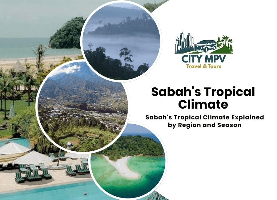
Sabah sits at the northern tip of Borneo, just a few degrees above the equator, and that single fact explains almost everything about its weather. The state experiences a tropical rainforest climate, warm, humid, and rain fed throughout the year, with very little of the seasonal temperature swing found further from the equator.
For travelers, this climate isn’t uniform across the state. Sabah’s geography, coastal lowlands, dense interior rainforest, and the towering presence of Mount Kinabalu, creates real regional variation that’s worth understanding before planning a trip.
Why Sabah’s climate stays tropical year round
Sabah’s location, roughly between four and seven degrees north of the equator, places it firmly within the equatorial climate belt. Under the Köppen classification, most of the state falls into the tropical rainforest category, meaning no true dry season exists anywhere at low elevation.
Warm air, high humidity, and consistent rainfall define the state’s weather pattern. Unlike countries with four distinct seasons, Sabah’s temperature barely shifts across the calendar. What changes instead is rainfall intensity, driven by two monsoon systems that sweep across Borneo at different times of year.
Stop scrolling and start traveling! City MPV Travel and Tours makes it easy to turn this into your next unforgettable trip. Seats fill fast, so grab yours today.
Book Your TourTwo monsoons, two coastlines
Sabah’s weather is shaped by the Northeast Monsoon and the Southwest Monsoon, and each affects the state’s coastlines differently.
The Northeast Monsoon runs roughly from November through March. It brings heavier rainfall to Sabah’s east coast, including Sandakan, Semporna, and the Kinabatangan River region, while the west coast around Kota Kinabalu usually sees a gentler effect.
The Southwest Monsoon runs from around May through September. This system tends to bring more rain to the west coast instead, while the east coast often enjoys calmer, drier conditions during these months.
This east versus west split matters for trip planning. A wet season on one coast can line up with a comparatively dry stretch on the other, so timing depends heavily on which part of Sabah is on the itinerary.
Lowlands versus highlands
Sabah’s lowland areas, including Kota Kinabalu, Sandakan, and Tawau, sit consistently warm, with daytime temperatures typically between 29°C and 33°C and only mild cooling overnight.
Move inland to the highlands around Kundasang, Ranau, and Tambunan, and the picture changes noticeably. Elevation brings cooler air, with daytime temperatures often ten degrees lower than the coast and cool, sometimes misty evenings. These highland areas are popular precisely because they offer a break from the coastal heat without leaving the state.
Mount Kinabalu’s own climate zone
Mount Kinabalu deserves its own mention, since it behaves like a separate climate entirely. At the base, conditions match the surrounding lowland heat and humidity. Higher up, temperatures fall steadily, and near the summit, well above 4,000 metres, nighttime temperatures can approach freezing.
Anyone climbing the mountain needs to prepare for both extremes within a single trip, light breathable layers for the lower trail, and proper insulation for the final summit push.
Humidity and rainfall across the state
Humidity across Sabah generally sits between 80 and 90 percent, regardless of season, which is often more noticeable to visitors than the actual temperature reading. Annual rainfall varies by region but commonly falls between 2,000mm and 3,000mm, with the wettest stretches concentrated during each coast’s respective monsoon period.
Rain in Sabah rarely means an entire day is washed out. Showers typically arrive in short, heavy bursts, often in the afternoon, followed by clear skies again within an hour or two. Locals plan activities around these bursts rather than avoiding travel because of them.
Stop scrolling and start traveling! City MPV Travel and Tours makes it easy to turn this into your next unforgettable trip. Seats fill fast, so grab yours today.
Book Your TourBest time to visit based on climate
There’s no universally perfect month for the whole state, since west and east coast patterns don’t move together. Broadly, February through April tends to offer calmer conditions on the west coast, while the east coast, including dive destinations like Semporna and Sipadan, often sees its best conditions slightly later in the year.
Highland areas stay pleasant nearly year round, since elevation buffers them from the heaviest rainfall swings that affect the coast.
Because Sabah’s climate shifts by region rather than by a single wet or dry season, working with a local operator who understands these patterns helps in practice. City MPV Travel and Tours plans island hopping, Mount Kinabalu climbs, and cultural village visits around these regional shifts, which makes it easier to build an itinerary that avoids the heaviest rain windows in any given part of the state.
The final thouught on Sabah’s tropical climate
Sabah stays warm and humid everywhere, but where you are in the state changes what that actually feels like day to day. Coastal lowlands stay hot year round, highlands offer a cooler retreat, and Mount Kinabalu runs its own climate entirely. Understanding the monsoon split between the east and west coasts is the real key to timing a Sabah trip well, especially when planning things to do in Sabah, rather than relying on a single best season for the whole state.
Table: Sabah’s tropical climate by region
| Region | Avg Daytime Temp | Humidity | Rainfall Pattern | Best Months |
| West Coast (Kota Kinabalu, Papar) | 29°C to 32°C | 80 to 88% | Wetter May to September | February to April |
| East Coast (Sandakan, Semporna, Tawau) | 30°C to 33°C | 82 to 90% | Wetter November to March | April to September |
| Highlands (Kundasang, Ranau, Tambunan) | 18°C to 24°C | 75 to 85% | Rain year round, cooler air | Year round, avoid peak monsoon months |
| Mount Kinabalu (summit zone) | Near freezing to 10°C | Low, dry air | Minimal, but unpredictable | March, April, August, September |